 |
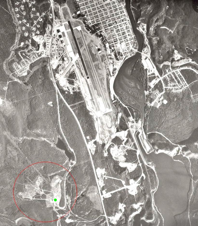
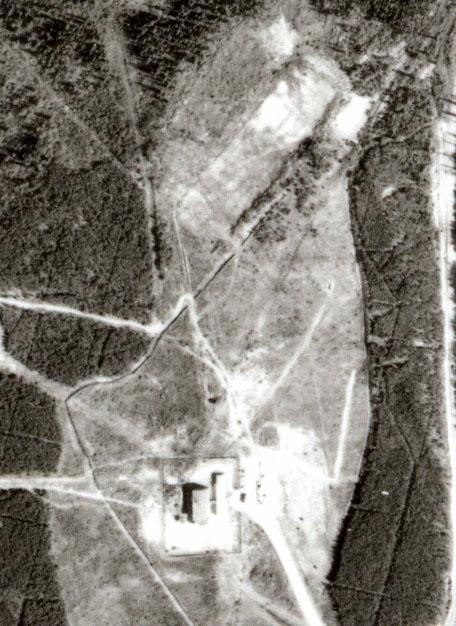
209-1: The 5RadU Operations site has been circled in red to show its position relative to the airport. To the left of the green dot is the Operations Building. |
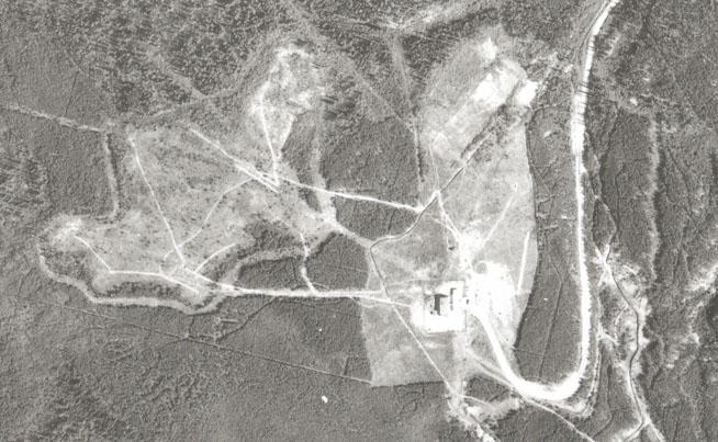 |
209-2: This closeup reveals an antenna field just north of the Operations Building and another to the north west. The time of day and the altitude from which the photo is taken makes it very difficult to discern most of the antenna masts. |
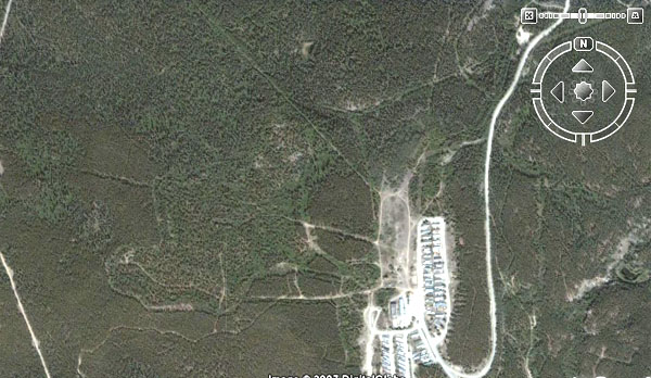 |
2007: This is the same area of image 209-2 but as a satellite photo in 2007. |
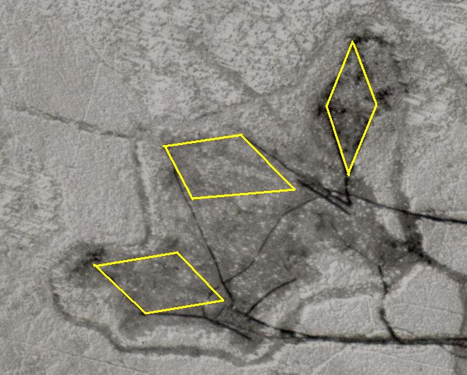 |
209-3: This is how the three rhombic antennas were positioned in the antenna field NW of the Ops Building. The antenna on the right points approximately north while the middle and left antennas point approximately NW. The left and middle antennas are offset by about 20 degrees from the right one. To obtain this rendering, it was necessary to scan the area of interest at 600 dpi, then convert the image to a negative. In this state, a few of the masts were barely visible. Using experience and prediction, the 3 rhombics were rendered in the positions seen here. |
 |
209-4: The antenna field to the north of the Operations Building. In spite of attempting 1200 dpi scans and varying contrast levels, it is impossible to see any antenna masts due to the lighting conditions in the original photo. |
Credits and References:
1) National Air Photo Library